Maps of the Territories in Michael Kohlhaas and of 16th Century Europe.
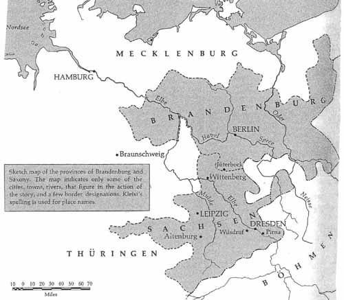
Map of 16th Century Saxony and Brandenburg
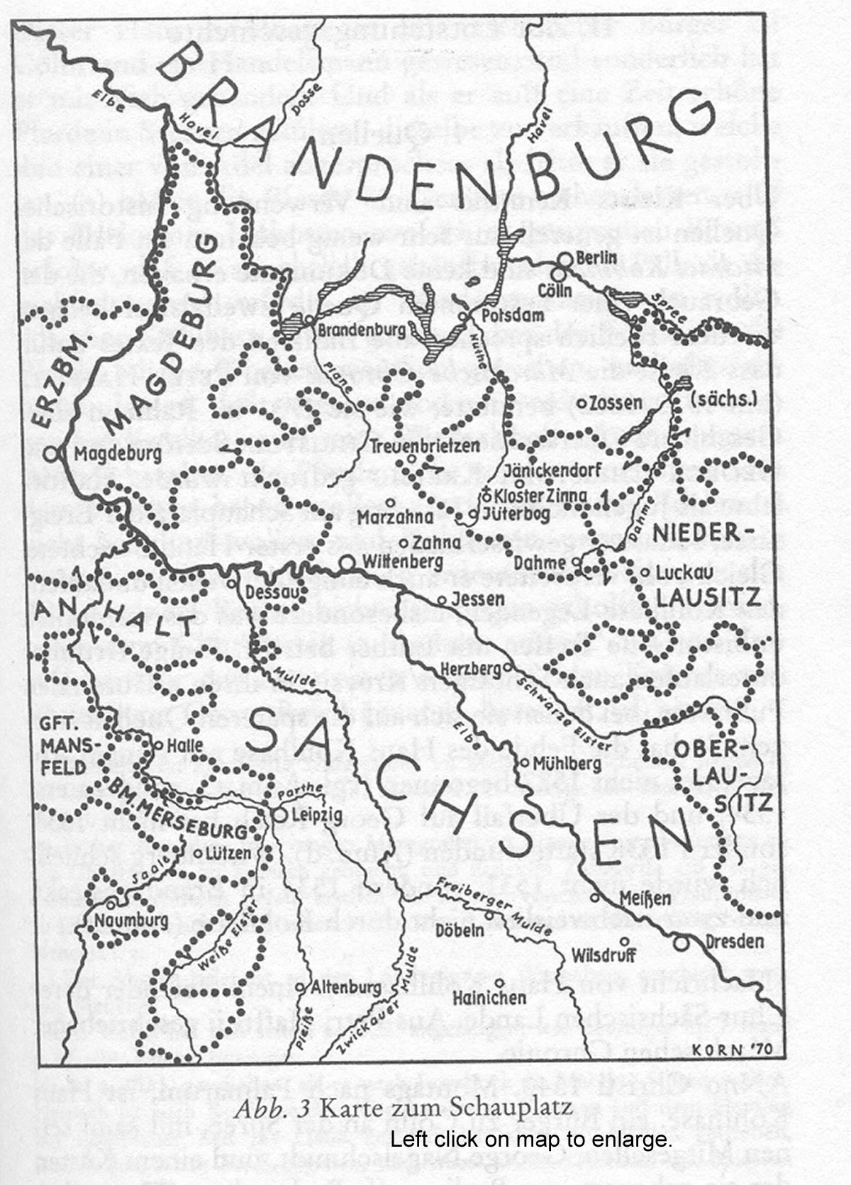
16th Century Saxony and Brandenburg from the Reclam Erlaeuterungen
Europe at the Time of the Reformation (1547), zoomable map from F. W. Putzgers Historischer Schul-Atlas
Germany at the end of 18th Century
Electorate of Brandenburg 1789
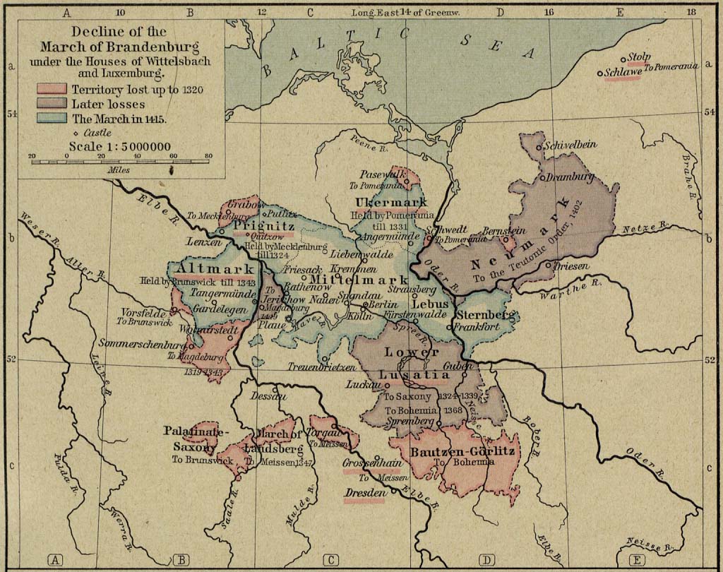
Decline of the March of Brandenburg, zoomable map
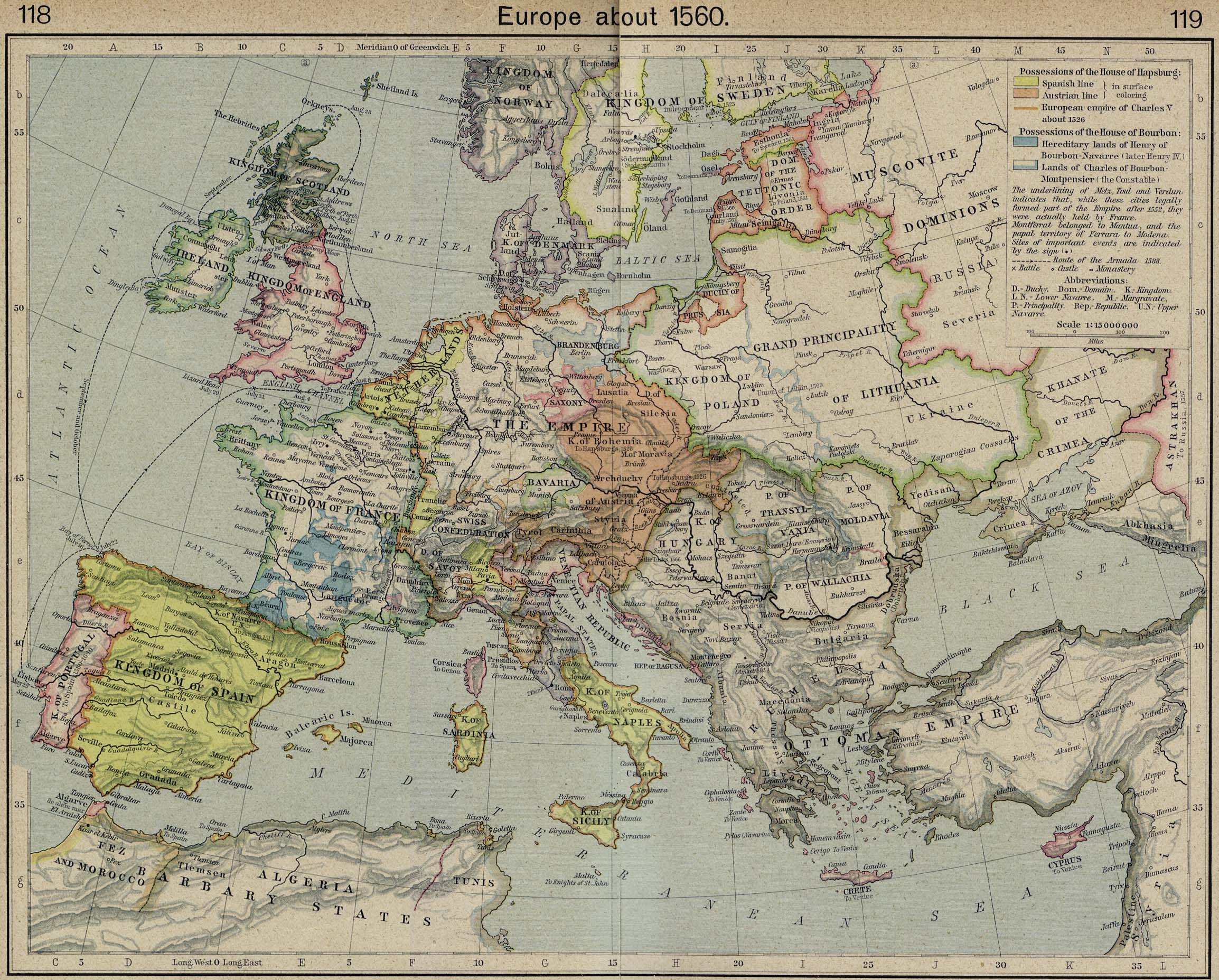
Europe About 1560, zoomable map
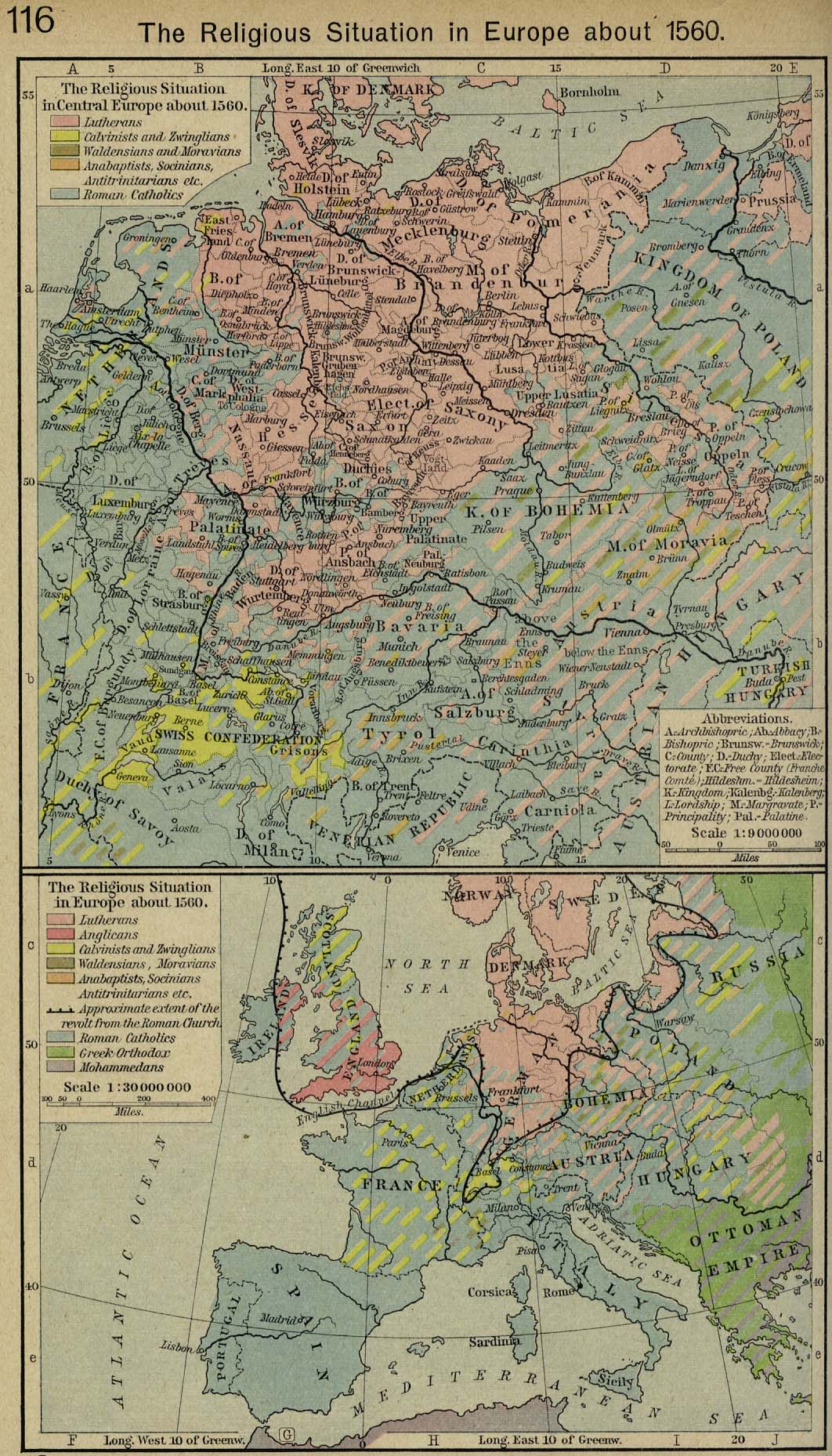
The Religious Situation in Europe About 1560, zoomable map
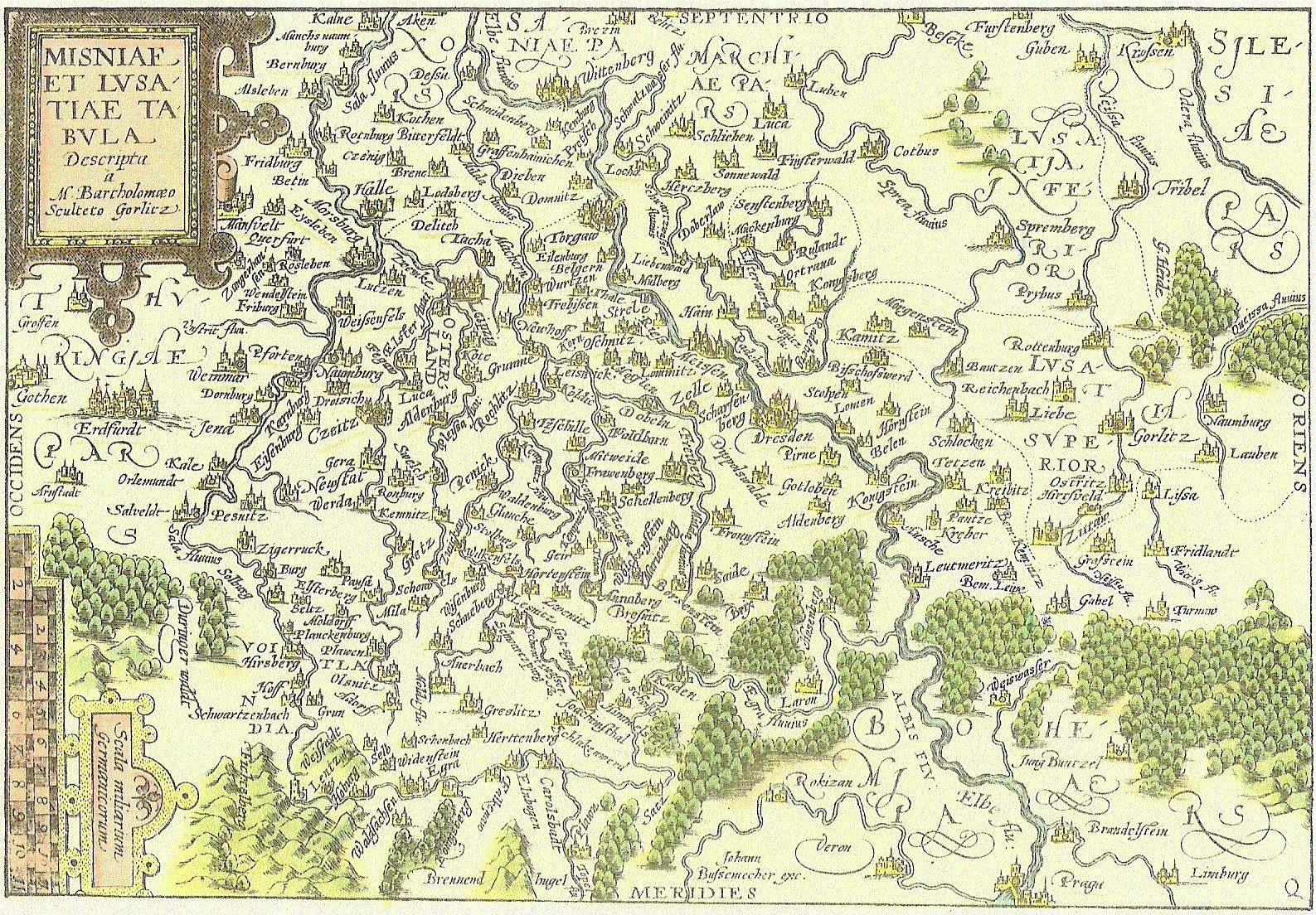
Saxony 1568, zoomable map